Loreto is the largest Department in Peru, with a total area of 368,852 km², representing 28% of the Peruvian territory. Located in the Northeast of the Country, its capital is the city of Iquitos, which is the largest city in the world not connected by road, only accessible by river and air. It borders to the north with Ecuador and Colombia, to the east with Brazil, to the west with the Amazon and San Martin Regions, and to the south with the Ucayali Region.
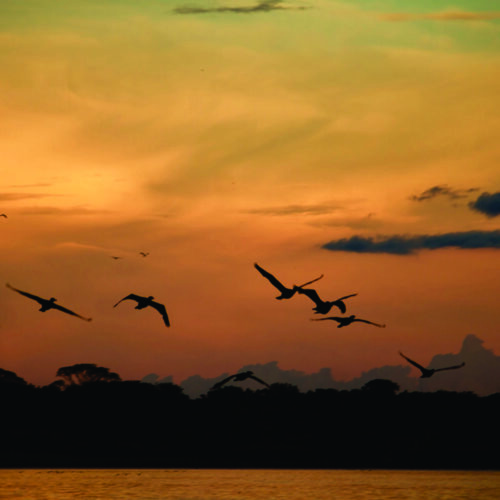
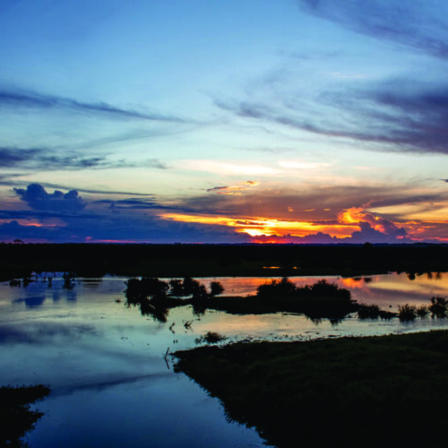
Loreto has two main ecosystems, tall forests and flooded forests, which are influenced by the dynamics of the Amazonian rivers, with two marked seasons, one characterized by abundant rainfall and increasing river levels, and the other characterized by less precipitation and decreasing river levels. In terms of biological diversity, Loreto contains about 40-60% of the species of mammals, birds, amphibians and reptiles for the entire Amazon basin.
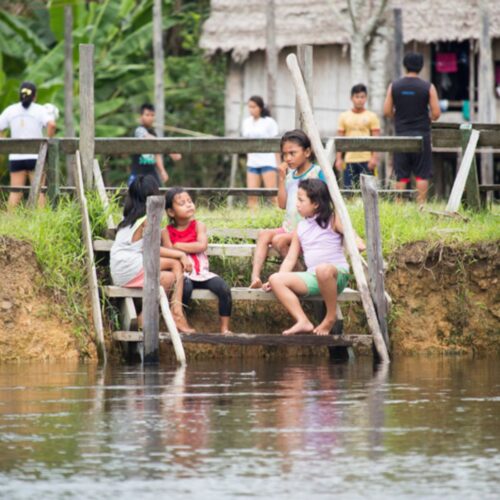
This great diversity is strongly linked to cultural values, as well as to the regional and local economy. In addition, key ecological processes for the sustainability of the basin take place throughout Loreto.
Focal Mosaic Description
There are two mega-infrastructure projects planned or in the process of being implemented: “The Amazon Waterway” and the Iquitos – Saramiriza road. Both projects have been questioned in terms of their design, technical aspects and the process of prior consultation of indigenous peoples.
The dynamics of governance in the region have been influenced in recent years by the processes of decentralization and political will to address the ecological viability of these infrastructure projects. There is a great need to visualize these issues and create a collaborative network to strengthen governance tools.
Ongoing work
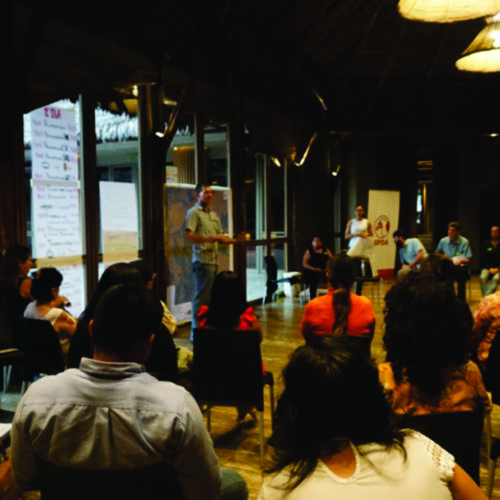
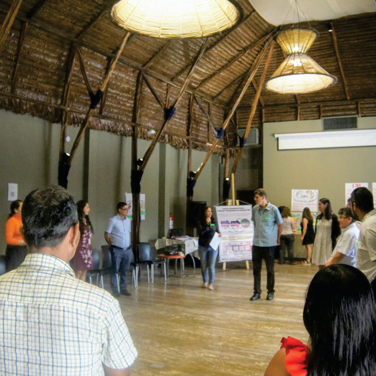
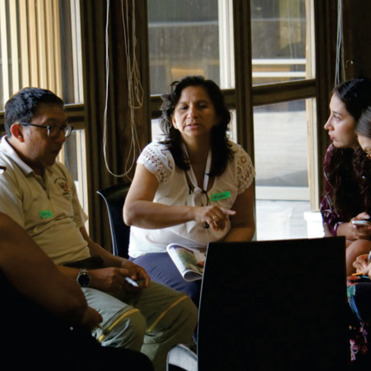
Through workshops, questionnaires and interviews, the GIA team has worked with partner organizations to compile knowledge and information that can support learning and reflection about the dynamics of governance and infrastructure in the Loreto, Peru focal mosaic.
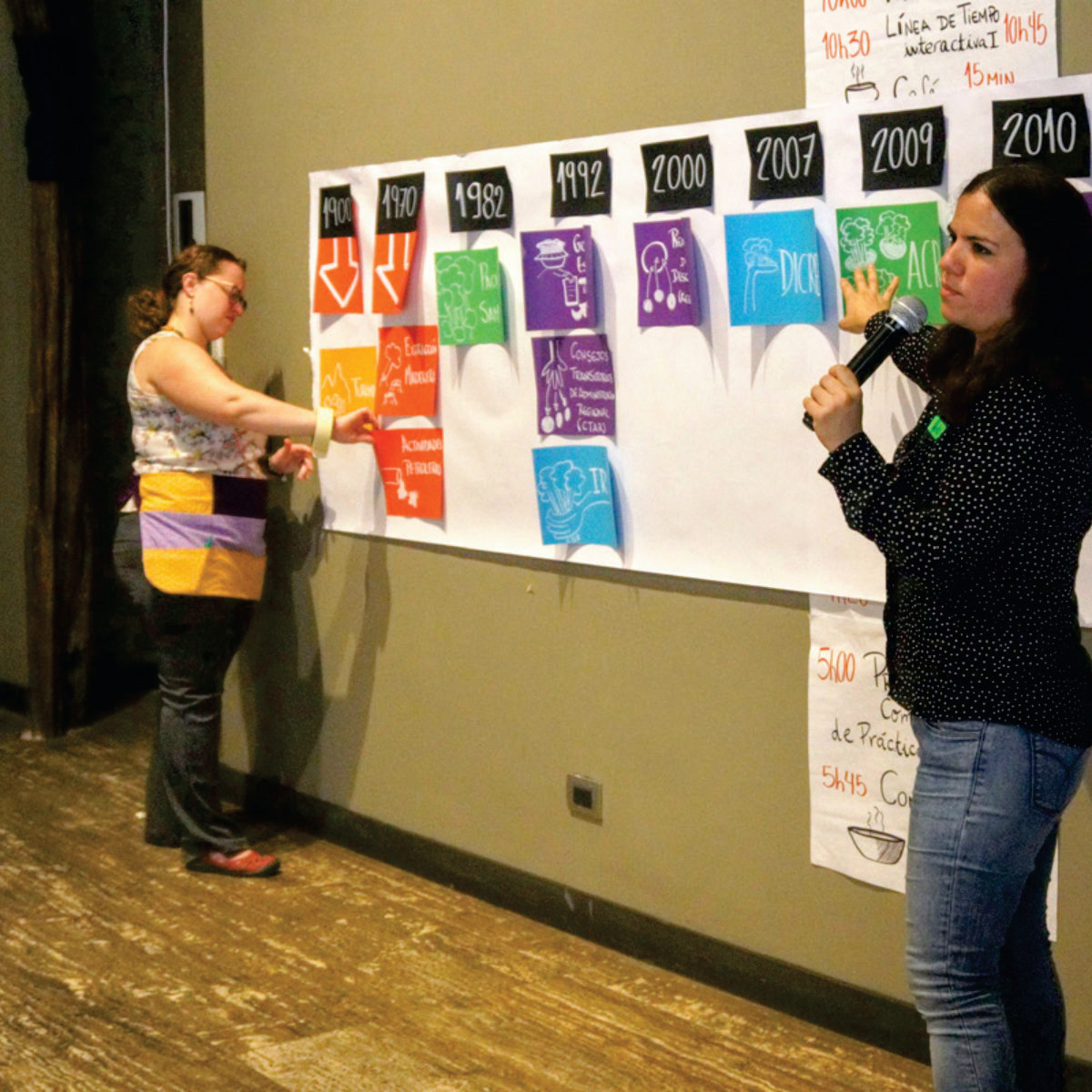
Timeline
Historical timelines are a way to reflect on the drivers of system change and decision-making processes, helping us to reflect on when major policy shifts occurred and what were critical enabling and limiting factors. We present the Loreto regional timeline here, with reflection on the scale at which key events occurred, the roles of different actors in catalyzing system change, what was emphasized by the participant group, apparent gaps in the workshop reflections, key lessons, and potential avenues for further work. The cross-regional synthesis of timelines may be found here.
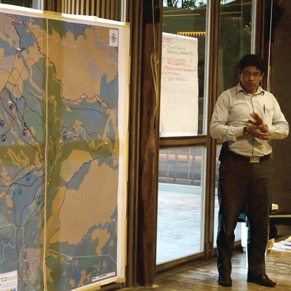
Participatory Mapping
Participatory mapping is a tool to socially construct a geospatial visualization of infrastructure within a mosaic of protected areas, indigenous territories and other lands. Participants in GIA workshops identified and mapped areas considered to be of high value, areas of perceived threats, and recommended actions. Maps and textual analysis from the Loreto mosaic may be found here (Forthcoming), while a cross-regional synthesis may be found here (Forthcoming).
Stakeholder and Organizational Analysis
The Loreto Community of Practice and Learning brings together a range of actors who work together in multiple ways to address shared challenges. Understanding how collaboration occurs and how different organizations can work together to maximize their collective impact are important areas for analysis and reflection.
In addition, many other stakeholders such as financing, construction, political and economic actors influence governance, infrastructure development, and conservation and development outcomes. It is important to understand who these actors are, their interests, sources of power, and opportunities to influence them.
Learn more about case studies and other analyses related to the Loreto CoP-L network and other infrastructure governance stakeholders here. For a more synthetic perspective on stakeholder analysis click here, and for organizational analysis here (Forthcoming)
“Effectiveness of conservation strategies for infrastructure governance” Dr. Jazmin Gonzales Tovar
Our preliminary assessment of conservation strategies identified several promising cases that offer opportunities for analysis and learning. By comparatively analyzing fours specific cases—one in each of the four GIA countries (Colombia, Bolivia, Brazil, and Peru)—this research aims to assess the effectiveness of strategies aimed to promote infrastructure governance. The study takes a close look at contextual/exogenous factors (e.g. politics and governance), power dynamics, synergies among diverse types of strategies, political mobilization, and coalitions/collaborations. It will deeply explore how certain social-environmentally oriented actors faced specific infrastructure projects in a given Amazonian region; which strategies they utilized to advance their desired goals, how they exerted power to influence decision-making, how they built coalitions and interacted with actors that had different goals or priorities, what were the results, and why (e.g. what was the effect of contextual factors and power relations).
For Peru, the chosen case illustrates a different type of story. In this country, the study will analyze the strategies utilized by a small group of national and international NGOs, who got together to uncover technical weaknesses of the Waterway Project (Proyecto Hidrovía Amazónica) and to promote effective participation and measures that would mitigate its potential impacts. As several of these NGOs are part of GIA´s community of practice, Jazmin will arrange interviews with them and will count with their support to identify other key informants and to access secondary information.
Case Study
Upcoming
Webinar
GIA had a series of virtual meetings with each GIA mosaic-level Community of Practice and Learning to present results from GIA’s first year of activities and discuss next steps for 2020.
Please access the Loreto, Peru CoP-L meeting below.
Planned Activities / Agenda
Learn more about events, activities and additional studies being carried out in the Loreto, Peru here (Forthcoming).
Additional Students Research
Pamela Montero Alvarez Title: Understanding the Relationship between Conservation and Tourism in the Amazon
Pamela’s dissertation examines the interaction between conservation and tourism in the Peruvian Amazon by exploring different aspects of community-based tourism, how social capital from conservation influences tourism development, and how conservation and tourism stakeholders collaborate. Her research includes social network analysis of tourism and conservation actors; this includes looking at how the conservation NGOs collaborate in the Loreto Mosaic, as well as the network of their conservation actions.
Coordinators
Hover over image for information and to contact coordinators.